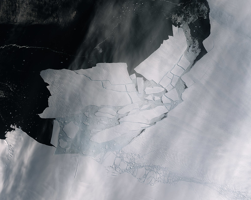

We offer Continuing Professional Development courses for people who want to build practical skills in satellite data, Earth observation, and applied space technologies. Our next course will focus on Introduction to Satellite Earth Observation with a focus on Synthetic Aperture Radar, a hands-on course designed to help participants understand and apply radar satellite data in real-world contexts. Register your interest to be notified when future dates and registration options become available.
Introduction to Satellite Earth Observation with a focus on Synthetic Aperture Radar
Offering a hands-on experience for people who want to build practical digital skills and explore how satellite data is used in areas such as the environment, infrastructure, offshore energy, and public safety.
Satellite data plays an important role in understanding the world around us. It can help detect floods, monitor land and buildings, track change over time, and support decisions in many industries. Yet for many people, this field can feel technical and difficult to access.
This course is designed to make that first step easier. It gives participants an accessible introduction to working with satellite data through guided, practical exercises and real examples. It is suitable for people who want to upskill, return to work, change sector, or gain confidence in a growing technical area.
No previous experience in this type of satellite data is required. The course focuses on learning by doing and showing clearly how these skills connect to real opportunities and real-world applications.
As part of the course, participants will be introduced to radar satellite imagery, also known as Synthetic Aperture Radar (SAR), a powerful type of data that can be used day and night and in cloudy conditions.
What will you learn
You will be introduced to radar satellite imagery and learn why it is useful for observing the Earth in all weather and at any time of day. Through guided practical exercises using real data, you’ll learn how to find suitable datasets, work through key processing steps, and interpret the results in relation to real-world applications.
The course also helps you understand where this type of data adds value alongside other Earth observation sources, and how to communicate findings clearly to both technical and non-technical audiences.
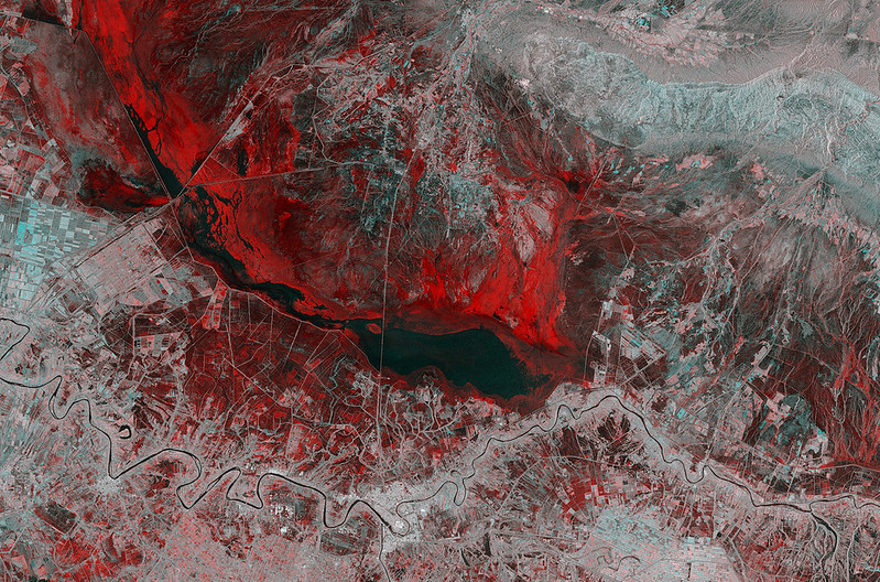
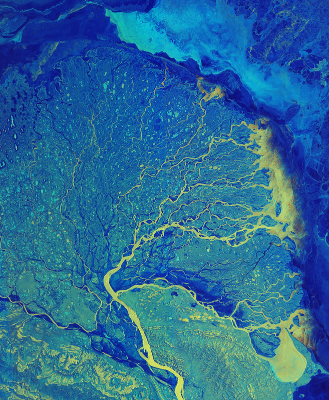
Interested in future course dates?
We are developing Continuing Professional Development courses for people who want to build practical skills in satellite Earth observation and applied space technologies.
Our next course to run will be Introduction to Satellite Earth Observation with a focus on Synthetic Aperture Radar. This hands-on course is designed for people with a technical background who want to learn how radar satellite imagery can be used in real-world applications. No prior Earth observation or programming experience is required.
Future dates, formats, and registration options will be announced once available. If you would like to be contacted when this or related courses next run, please complete our short interest form.
Learning Made Useful
Build practical skills through guided exercises and real examples. The course focuses on how satellite data can be used in real-world settings, helping participants connect learning to careers, workplaces, and everyday applications.
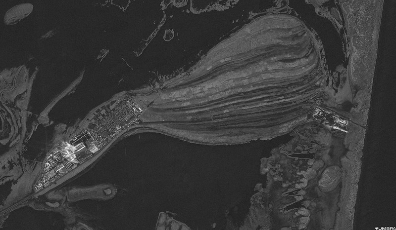

Who is it for?
This course is for people with a technical or applied science background who want to gain practical experience in working with satellite data. It’s particularly relevant for career returners, sector switchers, and professionals who would like to build new skills. You don’t need previous experience with satellite imagery but you should be comfortable using a computer, following guided practical exercises, and learning in English. An interest in data, technology, and real-world applications will be helpful.
Course Format
The course is delivered as a 16-hour intensive programme and can be offered either over two full days or as four half-day sessions. It combines short lectures with guided practical exercises using real satellite data, giving participants the chance to build confidence through hands-on learning.
The focus is on accessible, step-by-step training that helps participants move from understanding the basics to applying the methods in practice