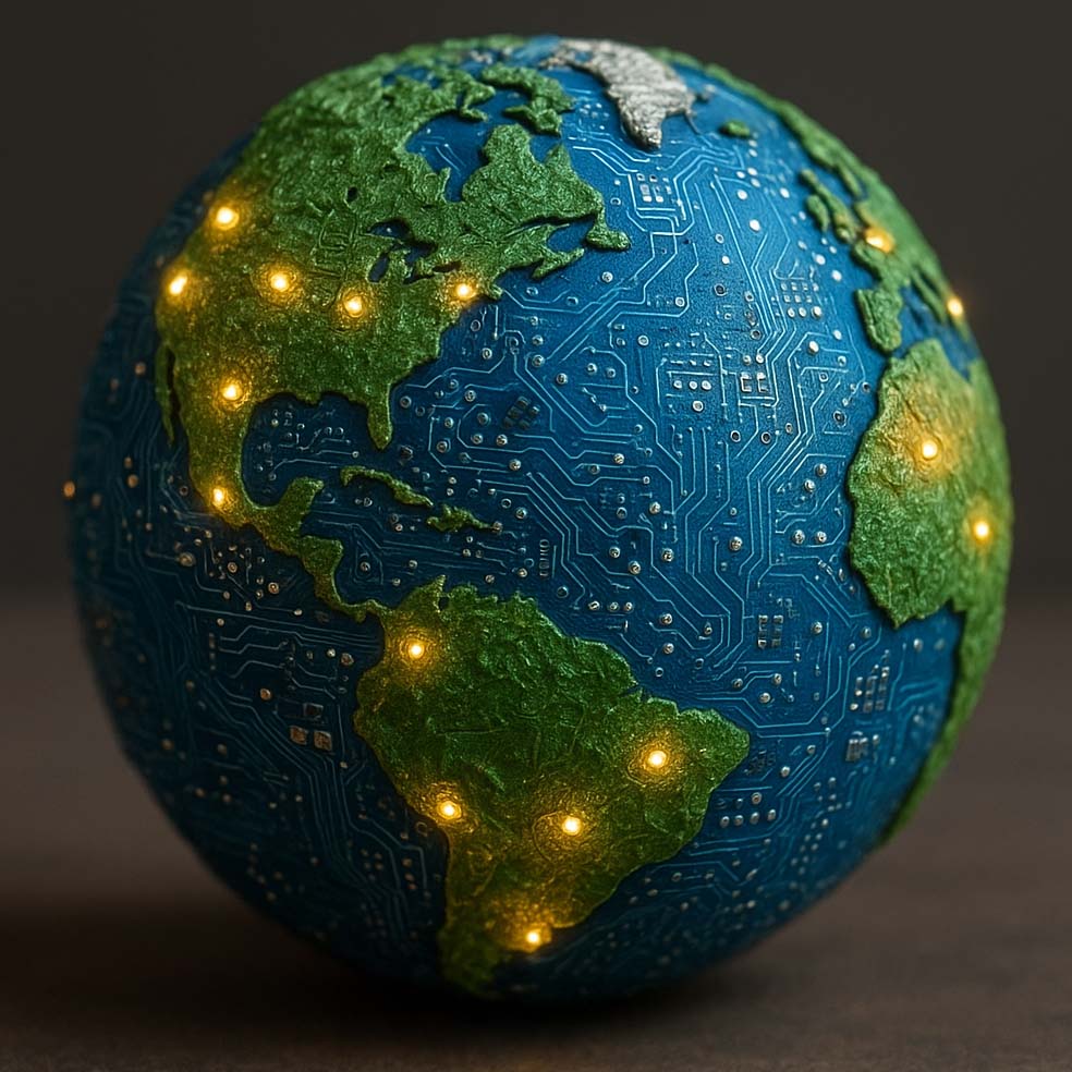
Driving transformative and actionable insights for an equitable society
‘Earth Intelligence’ combines satellite imagery and geospatial data analysis to better understand our planet. By using Artificial Intelligence, AI, responsibly we turn space-based information into insights that can guide decisions and improve life on Earth.
As the world evolves into a greener, more data-centric planet, we are inventing the technologies required to support new terrestrial demands, from space, for social, economic, and environmental development, globally.
We are directly supporting data-driven sustainable and inclusive economic development, globally, to support both economic progress and preservation of the terrestrial environment on which we entirely depend.
We are developing technologies and algorithms to process the exponentially increasing data available from space to help us better understand our Earth, and to make this knowledge available to all.
Established networks and track record, partnership engagement, and co-designed innovation
Connecting challenges with networks and capabilities
Learning Made Useful – Case Studies
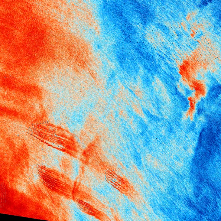
Ocean Sprawl
As countries transition to low carbon economies, the rate of offshore structure installation and removal is rapidly accelerating. Anthropogenic structures in marine environments have a profound effect on ecosystem processes. We’re developing algorithms to identify offshore structures, chart them, and quantify the contribution they make to ocean sprawl. This image shows ocean surface roughness (red is rough, blue is smooth) derived from synthetic-aperture radar, it shows ‘plumes’ of increased surface turbulence from offshore wind farms.
We’re working with partners to support offshore wind farm construction, and operations and maintenance. We’re providing algorithms to understand sea state and wind speeds, from space.


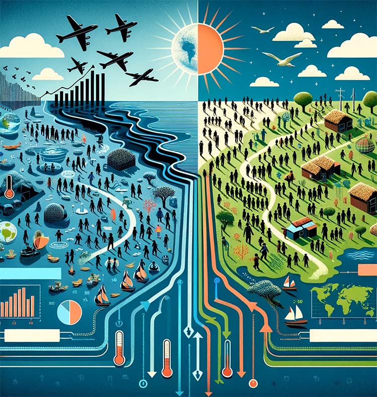
Decoding Climate-Induced Displacement
As environmental crises escalate globally, comprehensive analysis and strategic interventions are essential. We’re working to leverages satellite technology to monitor and evaluate environmental changes resulting from extreme weather events such as hurricanes, floods, and droughts.
We’re developing algorithms and methods to help monitor community resilience, from space, to enable identification of the communities most vulnerable to climate change.
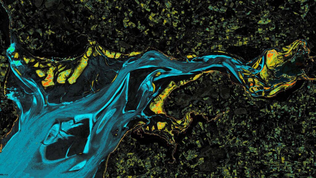
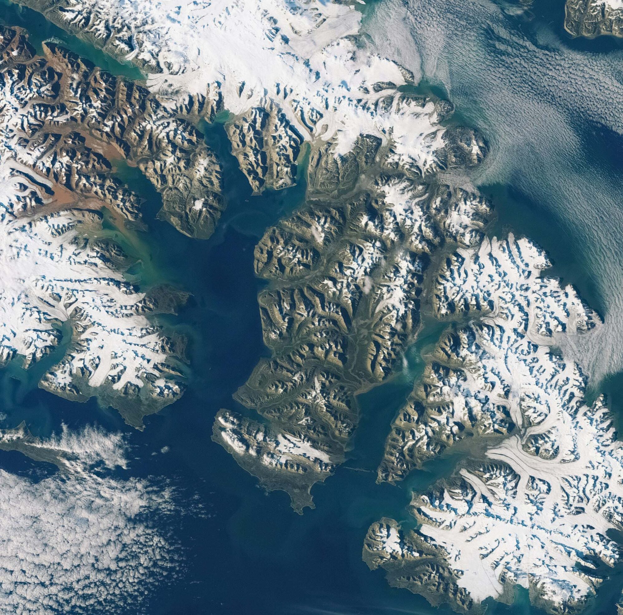
Navigating in Uncharted Waters
The world around us is in constant flux, we’re working with Lifeboat crews to chart the uncharted to save lives. Satellite images – such as those used to generate this image of shifting sands in the tidal flats of the Solway Firth – reveal changes in the environment. Tidal flats are dynamic ever-changing environments that, even today in our ever-connected World, remain uncharted and unsafe. We’re developing tools to automatically detect and categorise changing conditions to help save lives.